


 Чуй новините
 Подкаст
ИЗВЕСТИЯ
Моите новини
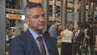
Иван Демерджиев: Големият въпрос е защо години наред...
Чете се за: 03:00 мин.

Тръмп обяви края на примирието: САЩ и Иран отново на ръба...
Чете се за: 00:45 мин.

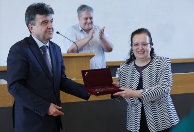
НС избра Антоан Гечев за председател на Държавна агенция...
Чете се за: 02:50 мин.
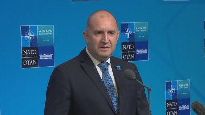
Румен Радев на срещата на НАТО в Анкара: България ще...
Чете се за: 03:47 мин.